
The Topography of Mt. Bandai
Historic Eruptions
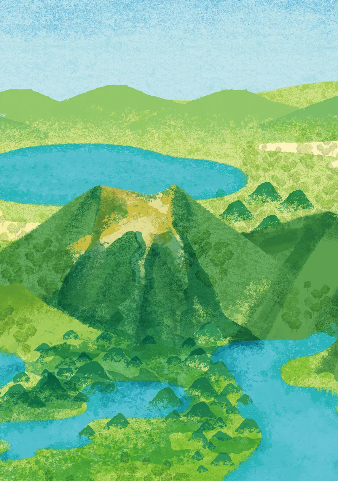
Mt. Bandai (1,816 m) is an active stratovolcano composed of igneous materials such as andesite, which is a rock that forms when lava cools and hardens after an eruption. The topographic model within the Urabandai Visitor Center is made to a scale of approximately 1:12,000. It affords a bird's eye view of Mt. Bandai and the surrounding landscape.
Numerous eruptions over a period of hundreds of thousands of years have given Mt. Bandai its conical form. The volcanic matter emitted during these incidents shaped the topography of Mt. Bandai and the surrounding landscape by damming rivers, which created new bodies of water, such as Lake Inawashiro.
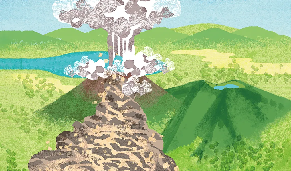
A devastating eruption occurred on July 15, 1888. Mt. Bandai had a phreatic (steam-blast) eruption that buried five villages and 11 settlements in debris, killing 477 people. Ejected sand and debris covered the entire Urabandai area, destroying all of its vegetation. The explosion also caused one of the mountain's peaks to collapse, leaving a crater in the mountainside that remains visible to this day. Reforestation programs beginning in the early twentieth century contributed to the recovery of the now-flourishing ecosystem.
Biodiverse Landscapes
Volcanic activity over a period of hundreds of thousands of years left its stamp on the mountains, lakes, wetlands, and other natural features of the Bandai-Azuma and Inawashiro region. The mineral-rich volcanic soil supports a variety of plant species, and the high-altitude wetlands are habitats for alpine plants and an array of insects, which in turn attract other wildlife.
A major eruption of Mt. Nekomadake around 400,000 years ago formed Oguninuma Pond and its surrounding wetland. Water accumulated in the crater left by the partial collapse of the mountain's volcanic chamber and eventually became a pond. A wetland formed southwest of the pond, where soil drainage is poor. Oguninuma Pond covers 43 hectares, and the wetland spans approximately 100 hectares. Lake Inawashiro to the south formed following an eruption of Mt. Bandai around 40,000 years ago. It has an area of 10,330 hectares and is the fourth-largest lake in Japan.
Mt. Bandai's eruption in 1888 devastated the surrounding area with ash, debris, and mudflows, but it also created ponds and lakes through the damming of rivers. The largest of these bodies of water are Lake Hibara (1,070 ha), Lake Akimoto (360 ha), and Lake Onogawa (170 ha). The eruption also created the Goshikinuma Ponds, 30 wetland areas and ponds with distinct coloration caused by volcanic sediments and mineral particles such as aluminum silicate, iron, copper, and manganese.
In the early twentieth century, the government and local communities embarked on a program of replanting to rejuvenate the terrain that had been left barren by the eruption. Today, the Urabandai area is internationally recognized as an Important Bird Area, and its forests, lakes, and wetlands are a thriving ecosystem that supports diverse plants and animals.